
Patoka Watershed
Watersheds: Patoka
Patoka Watershed
Click to enlarge
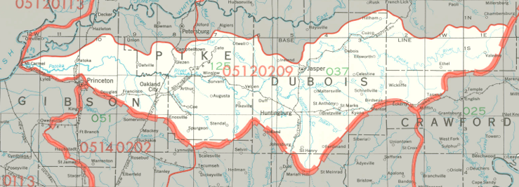
The Patoka Watershed drains about 550,000 acres in southern Indiana. The watershed is centered around the Patoka River, which flows in a generally westward direction from its headwaters in southern Orange County to the Wabash River, near East Mount Carmel in Gibson County. Along the way it is a major contributor to Patoka Lake and passes through the Patoka River National Wildlife Refuge. It drains most of Dubois County and Pike County, large portions of Gibson County and Orange County, and smaller parts of four other counties. Long stretches of the river, particularly to the west, have been channelized.
County |
Acreage |
Source: USDA
Notable tributaries of the Patoka River include Goose Creek, Rock Creek, Ell Creek, Hunley Creek, Straight River, Poison Creek, and Davis Creek. After joining the Wabash, waters from the Patoka River make their way to the Ohio River and thence into the Mississippi River and on to the Gulf of Mexico.
The United States Geological Survey has assigned the Patoka Watershed an 8-Digit Hydrologic Unit Code of 05120209.