
Warrick County
Counties: Warrick County
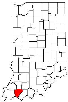
Warrick County is in southwest Indiana. It is bounded on the north by Gibson County and Pike County, on the west by Vanderburgh County, on the south by Kentucky, on the east by Spencer County, and on the northeast by Dubois County.
Natural Areas
-
Organizations
Indiana Native Plant Society - Southwest Chapter
Watersheds
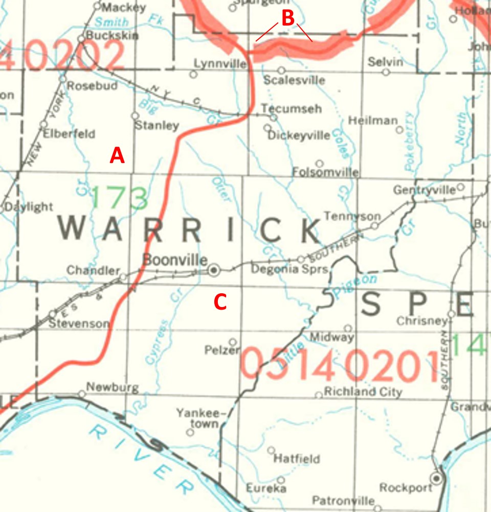
Warrick County Watersheds
Click to enlarge
Red lines on the map depict the boundaries of 8-digit hydrologic units (one convenient definition of a watershed) as shown on this 1974 United States Geological Survey Map.
Warrick County drains into three different 8-digit hydrologic units, each represented on the image above by an area between red lines and within the county boundary, designated by a letter. Clicking on a watershed name below will take you to separate page with more information on that watershed.
Letter |
Watershed |
A |