
Greens Bluff
Natural Areas: Greens Bluff
State Designated Nature Preserve [#89; 1986]
Also spelled Green's Bluff
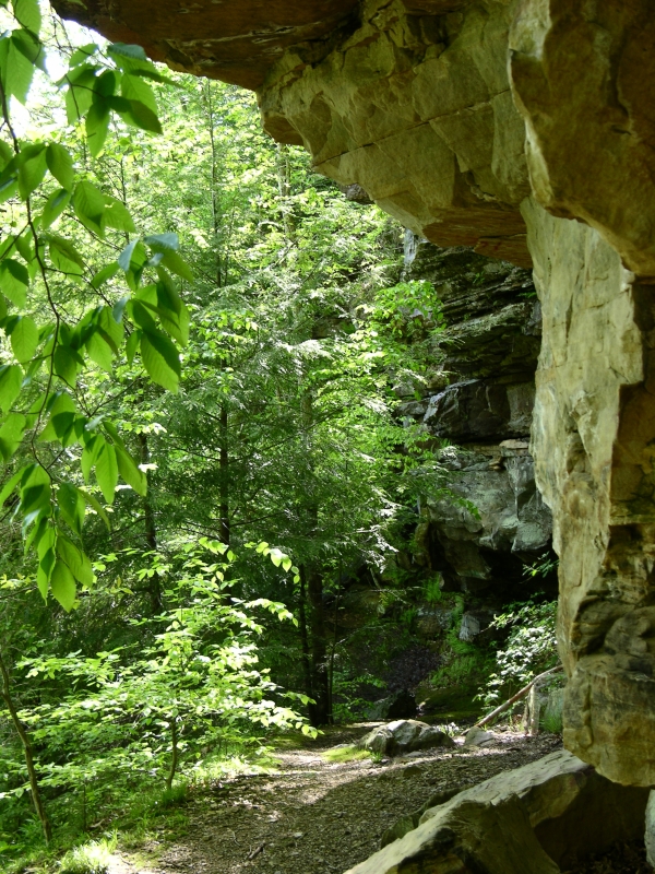
Rock Overhang. Click to enlarge
Greenĺs Bluff features a long-stemmed lollipop trail that passes through a dense hemlock stand, traverses the base of a fern-encrusted rock outcrop, and skirts the banks of Raccoon Creek. The entrance path runs along an old and sometimes muddy road, following a ridge line with only modest elevation changes, though drop-offs to either side are often pronounced. The trail winds through woods of mostly maple and oak, then angles left at a bench and information sign before descending rather steeply into the creek valley. Hemlock trees grow on the sheltered slopes, protected from direct sunlight; this helps them survive here, far south of their usual range.
On emerging from the hemlock stand, youĺll pass along the base of a rock outcrop. Hay-scented ferns, which smell of new-mown hay and are somewhat sticky to the touch, grow here. Seeps far above drip water onto rocks, ferns, and travelers alike. After leaving the bluff, the trail descends even further through rich woods dotted with fire pink and mayapple, eventually approaching Raccoon Creek and the low ruins of an abandoned mill. At this point, the trail turns left and begins an ascent along another old road, eventually returning to the entrance trail.
Trail Map
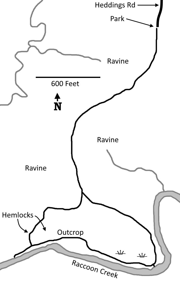
Click to enlarge
Directions
Owen County. Sherfield Road is 4.9 miles south of the IN 43/IN 46 intersection, and 5.8 miles north of the IN 43/IN 48 intersection. Go west 1.0 mile on Sherfield Road, then left 0.4 miles on 75E/Heddings Road to that roadĺs end, near a cemetery.
GPS: N 39 12.559 W 86 45.423
Facilities
None
Finder Sketch
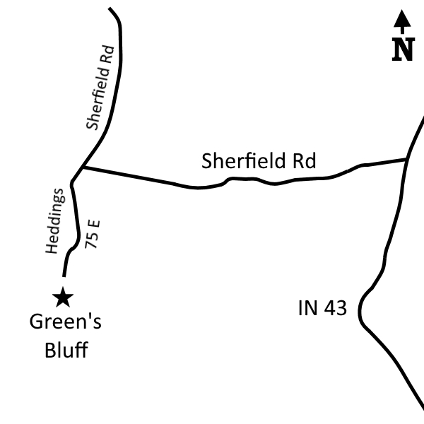
Click to enlarge
Nearby Natural Areas (miles)
McCormick's Creek State Park (6.5)
Porter West Nature Preserve (8.5)
Canyon Forest Nature Preserve (13.6)
Powell Nature Preserve (14.3)
Beanblossom Bottoms (14.8)
Leonard Springs Nature Park (14.9)