
Starve Hollow
State Recreation Area
Natural Areas: Starve Hollow State Recreation Area
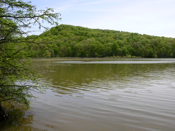
Reservoir. Click to enlarge
When first constructed in 1938, Starve Hollow’s reservoir was the largest in Indiana. While the water remains the principal attraction for most visitors, there are plenty of other amenities, including a nature center that is more substantial than a few of those found in some of our state parks. I also recommend the campground, especially if you can get one of the sites that is right along the shore of the reservoir. There is also an extensive, if somewhat remote, trail system, and a very nice trail map is available. Be sure to pick one up before heading out.
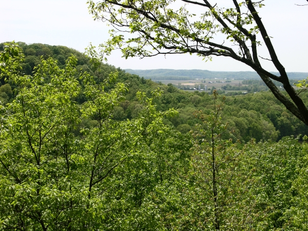
View from the Vista Trail. Click to enlarge
The Oak Leaf Nature Trail (brochure available) begins next to camp site 302 and provides the best link to the larger trail system. The Oak Leaf Nature Trail skirts the northern edge of Starve Hollow Lake, past cypress knees and low ground, before terminating at the Lakeshore Loop. The Lakeshore Loop (look for jack-in-the-pulpit if you’re here in the spring) intersects two other trails, the Cabin Site Trail (much of which runs along a logging road) and the Vista Trail. The latter is another loop with some rather steep sections; the trail brochure describes it as “very rugged”. As its name promises, the Vista Trail does afford nice, if often leaf-obscured, views of the surrounding countryside, as well as access to nice populations of spring wildflowers like dwarf larkspur.
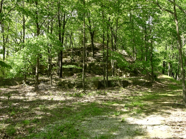
Turkey Roost Trail. Click to enlarge
The Spillway Trail begins on the side of the dam farthest from a parking area between the recreation area and the Driftwood Fish Hatchery. It’s a Y-shaped trail with one leg that connects to the Cabin Site Trail and another that connects to the Turkey Roost Trail, a rugged 5.6 mile lollipop that lies within adjacent Jackson-Washington State Forest.
Directions
Jackson County. From the eastern intersection of US 50 and IN 135, go south 3.7 miles on IN 135 to Lake Road/CR 310 (which becomes 300, then 275), then left 2.1 miles to the entrance on the left. (Fee)
GPS: N 38 48.962 W 86 05.093
Facilities
Campground, nature center, more.
Finder Sketch
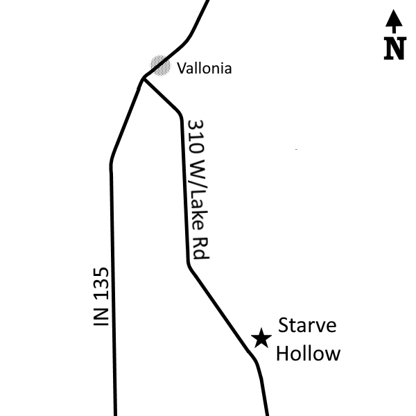
Click to enlarge
Nearby Natural Areas (miles)
Deam Wilderness (11.8)
Hemlock Bluff Nature Preserve (11.8)