
Potato Creek State Park
Natural Areas: Potato Creek State Park
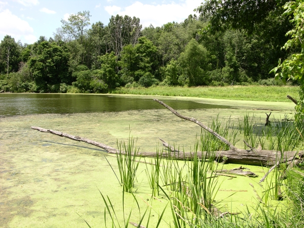
Wetland. Click to enlarge
At nearly 4,000 acres, Potato Creek is one of the largest state parks in Indiana. The central feature is Worster Lake, named for a local naturalist and activist who campaigned tirelessly for creation of the park. This is former farmland; parts still look like overgrown fields, and some trails are clearly former county roads. But restoration efforts are paying off. Potato Creek is, among other things, an important nesting site for osprey.
Osprey are fish-eating raptors with wingspans up to six feet. In the early 1980s, ospreys seen in the state were probably just passing through on the way to some other more congenial place. But thanks to restoration efforts like the one at Potato Creek, osprey now nest in Indiana. In some years, more than a dozen of these birds are present in the park. Look for tall poles arrayed around Worster Lake, each with a nesting platform perched on top. Chances are good that osprey pairs may have constructed large nests atop many of them.
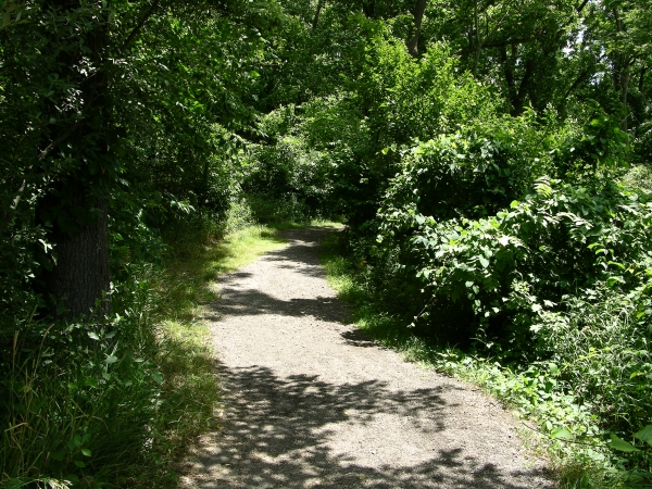
Trail. Click to enlarge
From the nature center, a loop trail with two short cuts heads north and east. Trail 1 returns via the second short cut, and totals just over two miles. It skirts Worster Lake and passes through recent growth woods. Trail 2 adds an extra couple of miles as it extends further eastward, over hills and toward the eastern boundary of Swamp Rose Nature Preserve. It then returns west toward its junction with trail 1 and thence to the nature center. Trail 4 (2.5 miles) is east of Worster Lake; it traverses old farmsteads and recent woods, also running alongside a stream and the lake.
Directions
Saint Joseph County. From the intersection of US 31 and IN 4, go west 5.8 miles on IN 4 to the park entrance on the right (north). (Fee)
GPS: N 41 32.098 W 86 21.720
Facilities
Nature center, campground, bathrooms, cabins
Finder Sketch

Click to enlarge
Nearby Natural Areas (miles)
Bendix Woods County Park (16.9)