
Charlestown State Park
Natural Areas: Charlestown State Park
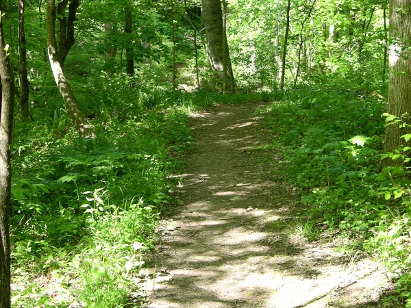
Trail 4. Click to enlarge
Charlestown State Park is relatively new (1996); it now includes about 5,100 acres, all or most of which were once part of the Indiana Army Ammunition Plant. The principal physiographic features of the park are Fourteenmile Creek and its valley, along with a substantial Ohio River frontage. There are presently seven trails, and each is worth exploring. Be sure to pick up a map at the gatehouse.
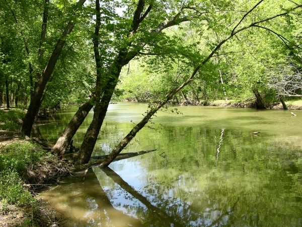
Fourteenmile Creek. Click to enlarge
Trail 3 is probably the most popular. It starts out as a smooth paved lane but soon begins a knee-jarring descent into the valley of Fourteenmile Creek. The Ohio River controls the water level in the creek, and the latter sometimes appears to flow backward or even submerge its banks. When the creek is low enough, you can walk south toward the Ohio along the creekĺs tree-lined banks. The Ohio is accessible if youĺre willing to cross a smaller creek; overhanging tree branches and a small waterfall combine to create a very pleasant scene. Trail 3ĺs return follows the creek through floodplain woods, gradually turning away and then rising abruptly to the beginning of the trail. Trail 4 starts at the same point as Trail 3 and offers overlooks of the valley below.
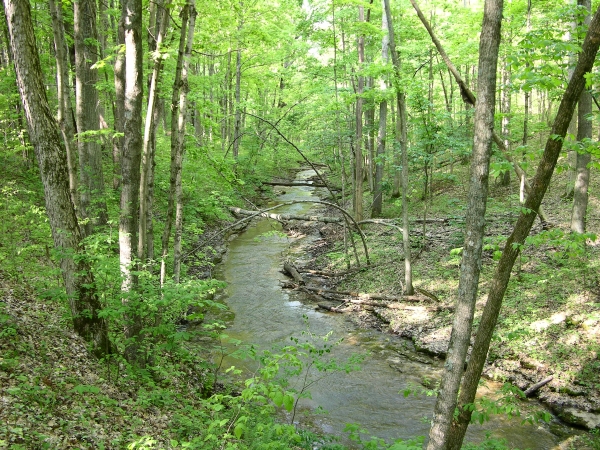
Trail 2. Click to enlarge
Trail 2 is the shortest trail in the park, but certainly not the least interesting. Itĺs a wooded loop of about a mile that features overlooks of a pretty creek and several small but attractive waterfalls and cascades. Trail 1 starts out as an unremarkable walk along an old lane, before entering the woods and descending a rocky path festooned with spring wildflowers. The trail squeezes between the stream valley to the right and impressive rock outcrops to the left, the latter having periodically shed house-sized chunks of rock that lie scattered about. Trail 5 begins near the campground visitor lot and descends to a platform that overlooks Fourteenmile Creek far below. Along the way, it skirts the campground and passes by large stands of twin leaf and phacelia that put on an excellent show in the spring.
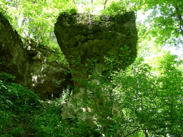
Outcrop. Click to enlarge
Newer trails include Trail 6, which starts at the Riverside Overlook, then heads to the top of the bluff overlooking the river. The northern portion of the loop is best, as it explores a very scenic stream valley with multiple short waterfalls. Trail 7 connects to Trail 3 via a relocated historic bridge, and loops through the remains of Rose Island, an amusement park wiped out by the catastrophic 1937 Ohio River flood.
Directions
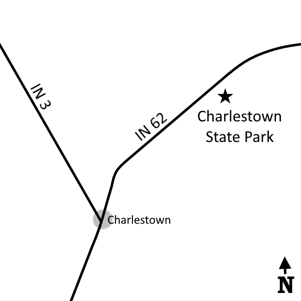
Clark County. From the intersection of IN 3 and IN 62, go east 1.0 mile on IN 62 to the marked entrance on the right (south). (Fee)
GPS: N 38 26.949 W 85 38.768
Facilities
Campground, shelter houses.
Finder Sketch
Click to enlarge
Nearby Natural Areas (miles)
Nine Penny Branch Nature Preserve (3.3)
White Oak Nature Preserve (13.7)
Falls of the Ohio State Park (16.9)
Chelsea Flatwoods (18.5)