
Anderson Falls
Natural Areas: Anderson Falls
State Designated Nature Preserve [#196; 2003]
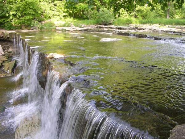
Anderson Falls. Click to enlarge
Anderson Falls is a 14-foot drop where the bed of Fall Fork transitions from a harder to a softer kind of rock. Two loop trails, one inside the other and sketched below, explore the wooded uplands on the stream’s far side. To reach the other side I’ve had to wade across the creek, well above the falls, and only when the water is shallow. If it’s high or running fast, save crossing for another day. Absolutely nothing on the other side of the creek is worth a trip over the falls. Though not prominently marked, the trails closely approach the stream bank near the falls. Markers along the trails identify the various plants found along their tread. Most visitors stick to the area around the falls, so if you venture onto the trails, you’re not likely to have much company.
Trail Map
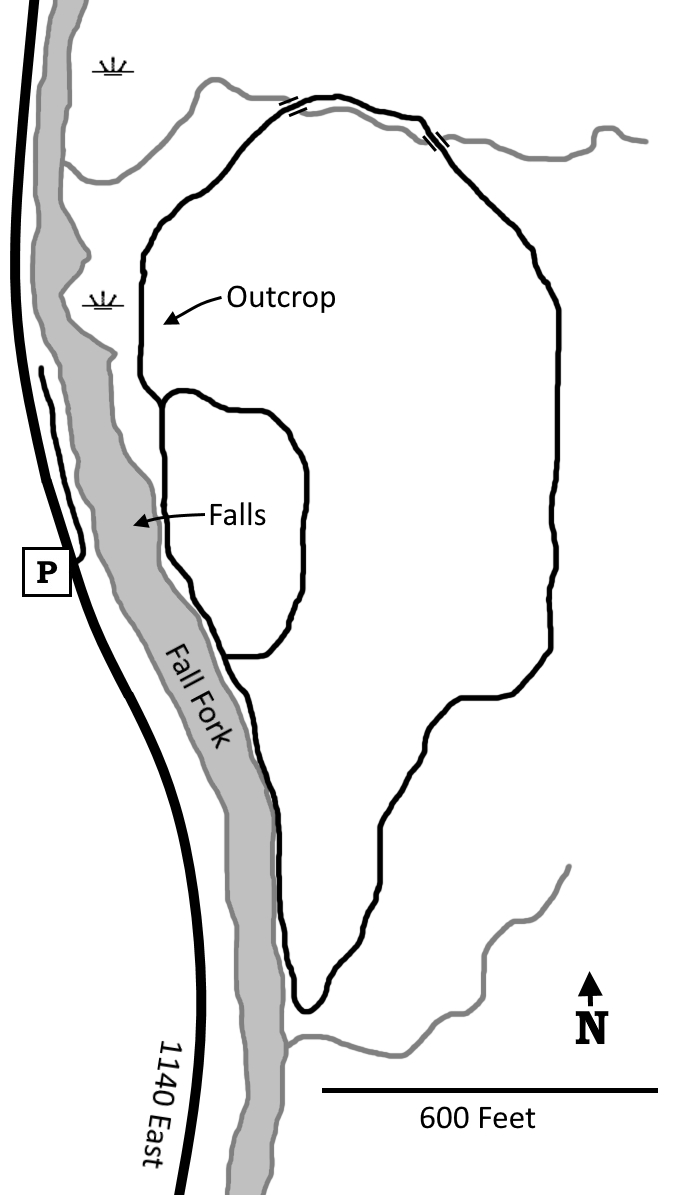
Click to enlarge
Directions
Bartholomew County. From IN 9 X IN 46, east 2.0 miles on IN 46 to 925E, then right; 925E quickly turns into 200N. Continue 2.3 miles from IN 46, then left onto 1140E and go 0.3 miles to a paved parking lot on the left.
GPS: N 39 14.207 W 85 41.960
Facilities
Pit toilets
Finder Sketch
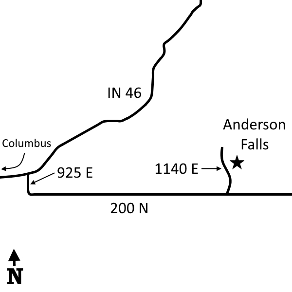
Click to enlarge
Nearby Natural Areas (miles)
No profiled natural areas within 20 miles