
Warren County
Counties: Warren County
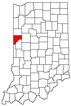
Warren County is in western Indiana. It is bounded on the north by Benton County, on the west by Illinois, on the south by Founty County and Vermillion County, and on the east by Fountain County and Tippecanoe County.
Natural Areas
Black Rock Barrens
See also: NICHES À
NC À
DNR [PDF]
Carr Island
NICHES
Crow's Grove
NICHES
Fall Creek Gorge
This Preserve Has Been Closed Indefinitely
Hewitt Estate
NICHES
Honey Branch Bluff
NICHES
Kohnke's Little Pine Valley
NICHES
Potawatomi Trail
NICHES
Rhus Radicans
NICHES
Rock Creek Nature Preserve
See also: NICHES
Swanson's Bluff
NICHES
Weiler-Leopold Nature Reserve
See also: NICHES À
DNR [PDF]
Williams Woods
NICHES
Organizations
Indiana Native Plant Society - West Central Chapter
Watersheds
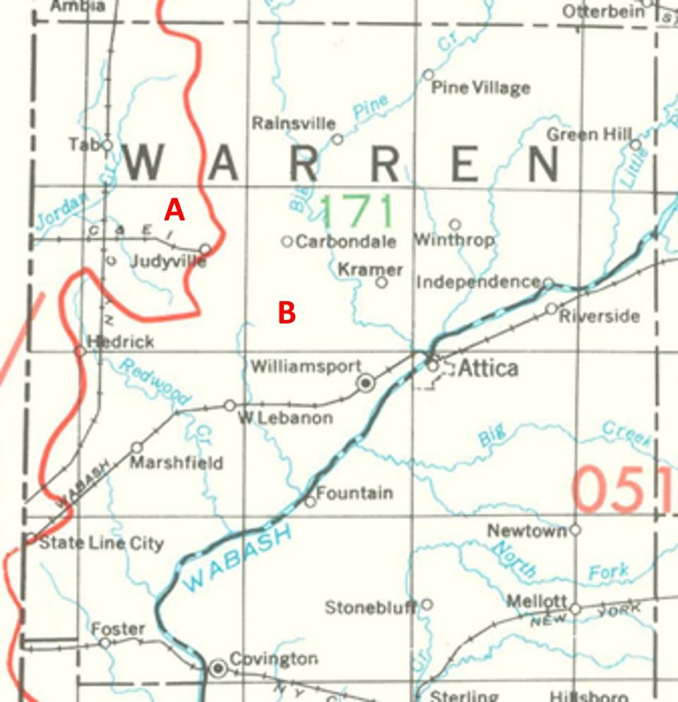
Warren County Watersheds
Click to enlarge
Red lines on the map depict the boundaries of 8-digit hydrologic units (one convenient definition of a watershed) as shown on this 1974 United States Geological Survey Map.
Warren County drains into two different 8-digit hydrologic units, each represented on the image above by an area between red lines and within the county boundary, designated by a letter. Clicking on a watershed name below will take you to separate page with more information on that watershed.
Letter |
Watershed |
A |