
Marion County
Counties: Marion County
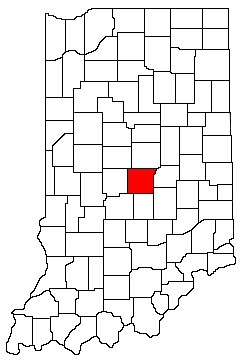
Marion County is in central Indiana. It is bounded on the north by Boone County and Hamilton County, on the west by Hendricks County, on the south by Morgan County and Johnson County, and on the east by Hancock County Shelby County.
Natural Areas
Eagle Creek Park
See also: Indianapolis
Eagle's Crest Nature Preserve
DNR [PDF]
Fort Harrison State Park
See also: DNR
Holladay Preserve at Ameriplex
CILTI
Holliday Park
See also: Friends
Lawrence Creek Nature Preserve
DNR [PDF]
Marott Park Woods Nature Preserve
See also: DNR [PDF]
Spring Pond Nature Preserve
DNR [PDF]
Warbler Woods Nature Preserve
DNR [PDF]
White Owl
CILTI
White River State Park
State of Indiana
Organizations
Indiana Native Plant Society - Central Chapter
Watersheds
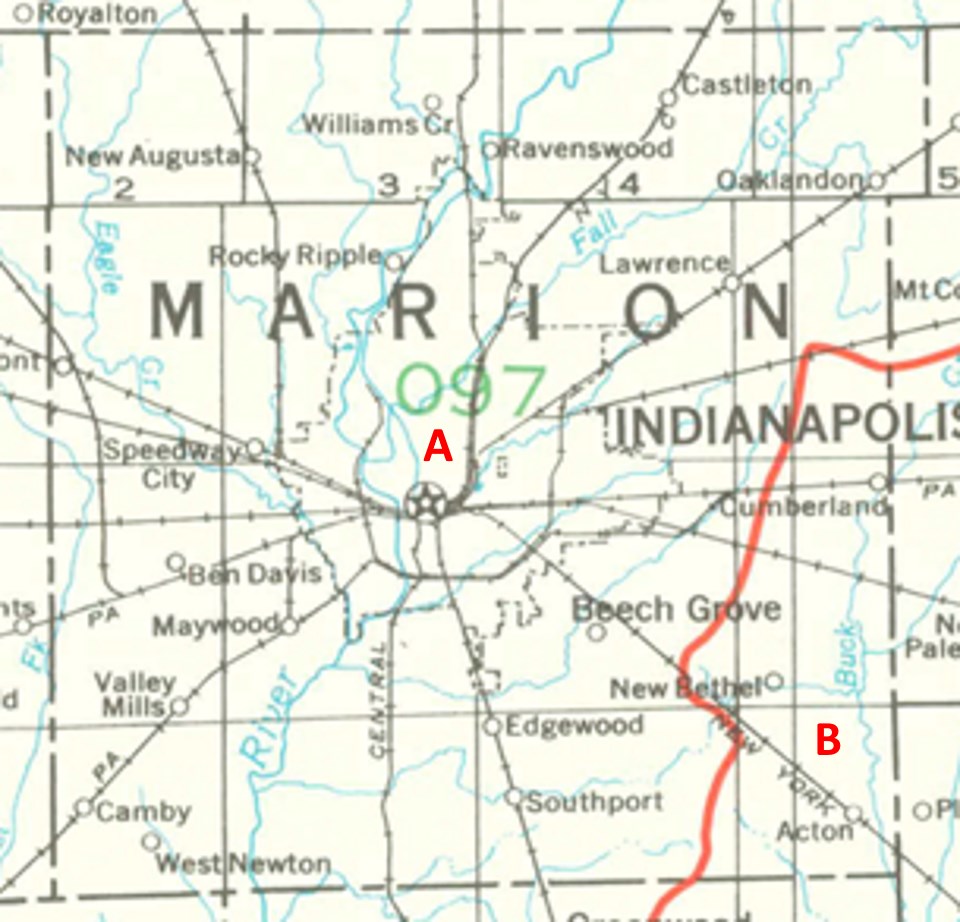
Marion County Watersheds
Click to enlarge
Red lines on the map depict the boundaries of 8-digit hydrologic units (one convenient definition of a watershed) as shown on this 1974 United States Geological Survey Map.
Marion County drains into two different 8-digit hydrologic units, each represented on the image above by an area between red lines and within the county boundary, designated by a letter. Clicking on a watershed name below will take you to separate page with more information on that watershed.
Letter |
Watershed |
A |